Richard Martin Gallery
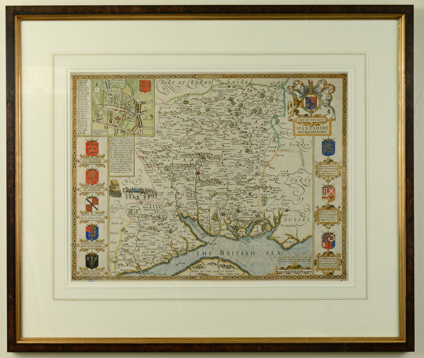
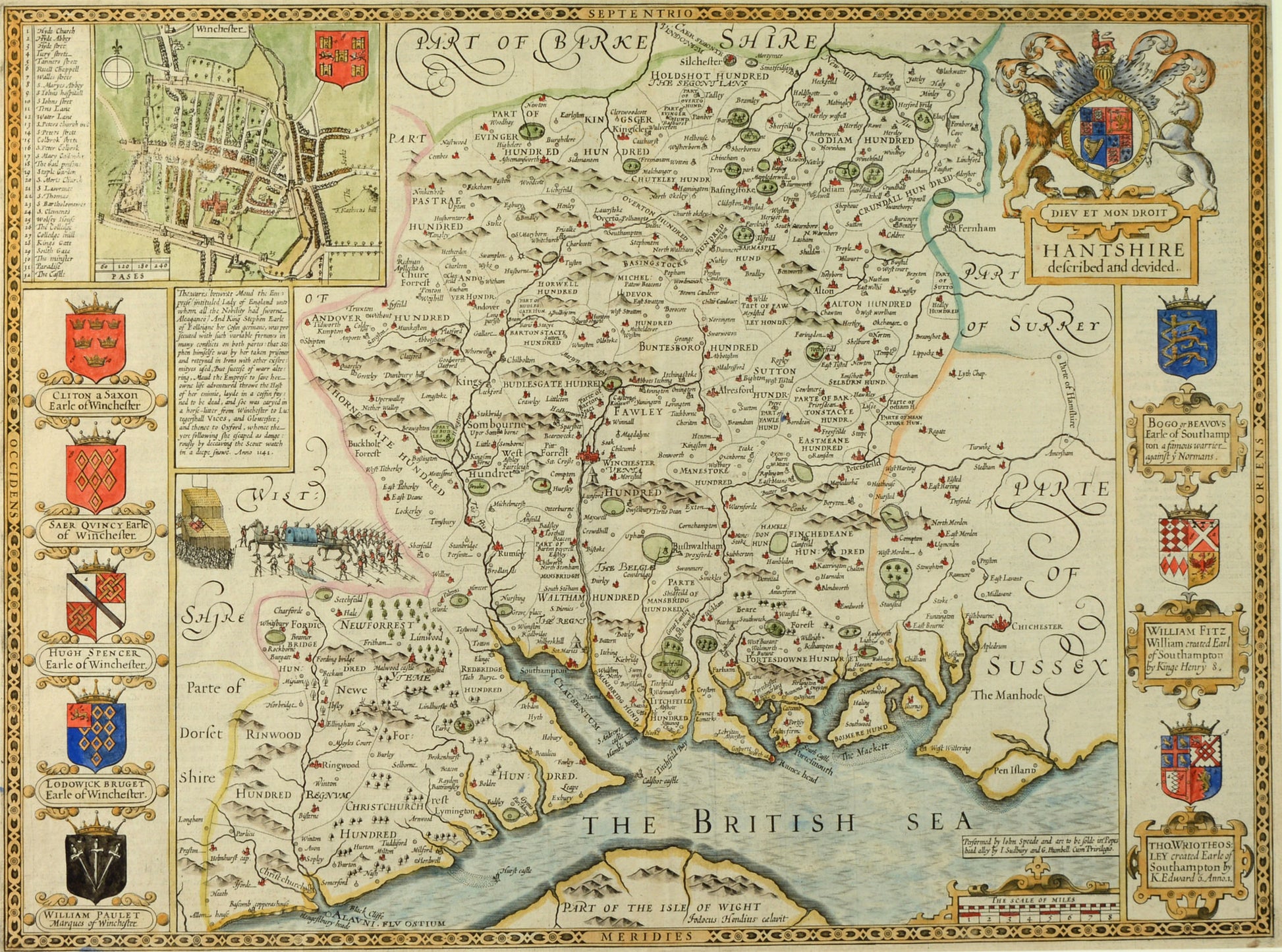
Antique Map of Hampshire by John Speed, published 1611
Antique Map of Hampshire by John Speed, published 1611
Couldn't load pickup availability
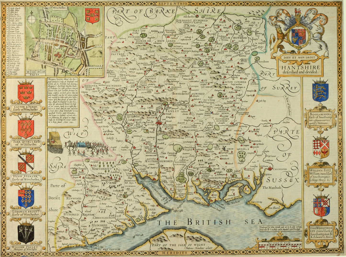
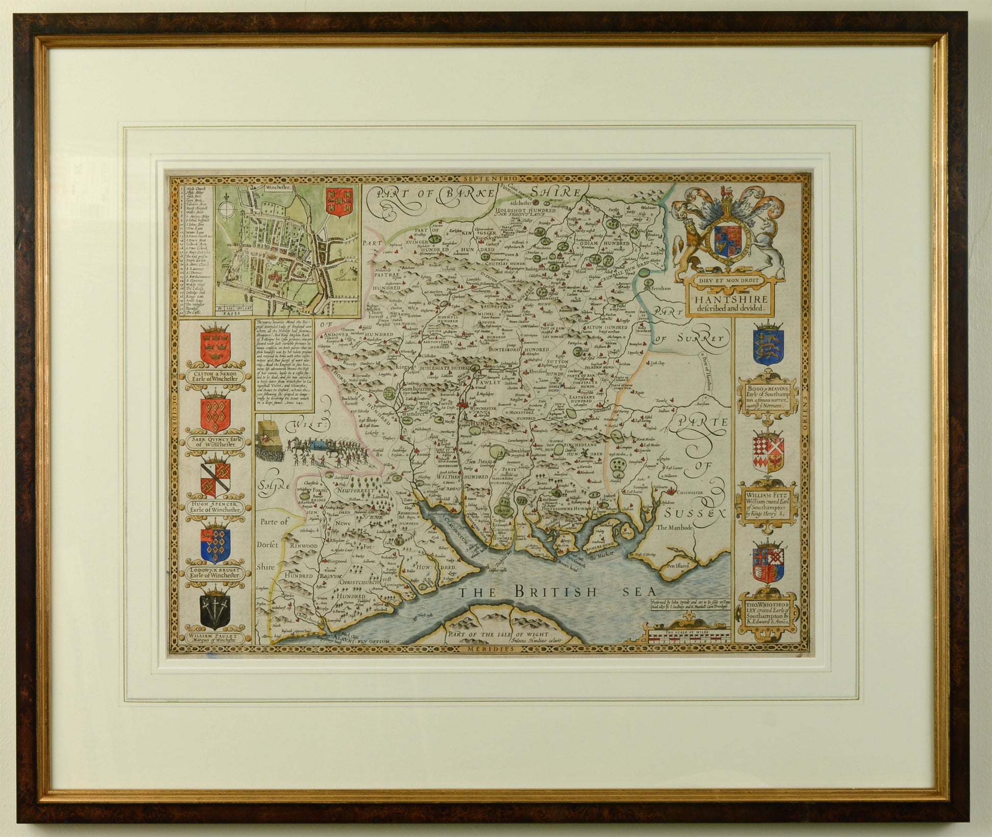
A particularly attractive example of Speed's map of Hampshire.
John Speed (1552-1629)
Hantshire described and devided
Published by Sudbury & Humble, c.1611
Original engraved county map, with attractive hand colouring
Inset plan of Winchester and county armorials
Double-mounted with conservation board and hand-applied wash lines
Handsomely framed and glazed in our studio
Overall size including frame: 62.6 x 74.7 cm
John Speed (1552-1629) was born in Cheshire and followed his father's profession as a tailor until the age of fifty. He lived in London with his wife Susanna who bore him twelve sons and six daughters! From a young age he was a keen amateur historian and mapmaker, and acquired the patronage of Sir Fulke Greville from around 1602 to produce a set of up-to-date county maps of Great Britain.
Speed's designs were taken to Amsterdam to be engraved by Jodocus Hondius, the copper plates were then returned to London for printing.
He was the first cartographer to incorporate the ancient 'hundred' boundaries into his maps which are also distinguished by the town or city plans inset within them. Speed is among the most famous of English map-makers.
Shipping & Returns
Shipping & Returns
Free UK postage for items over £500 GBP
Otherwise calculated at checkout
Overseas postage calculated at checkout depending upon location
Returns
You have 30 days to return your item after receieving it. Returns can be made for any reason. Click below for more information.
