

Richard Martin Gallery
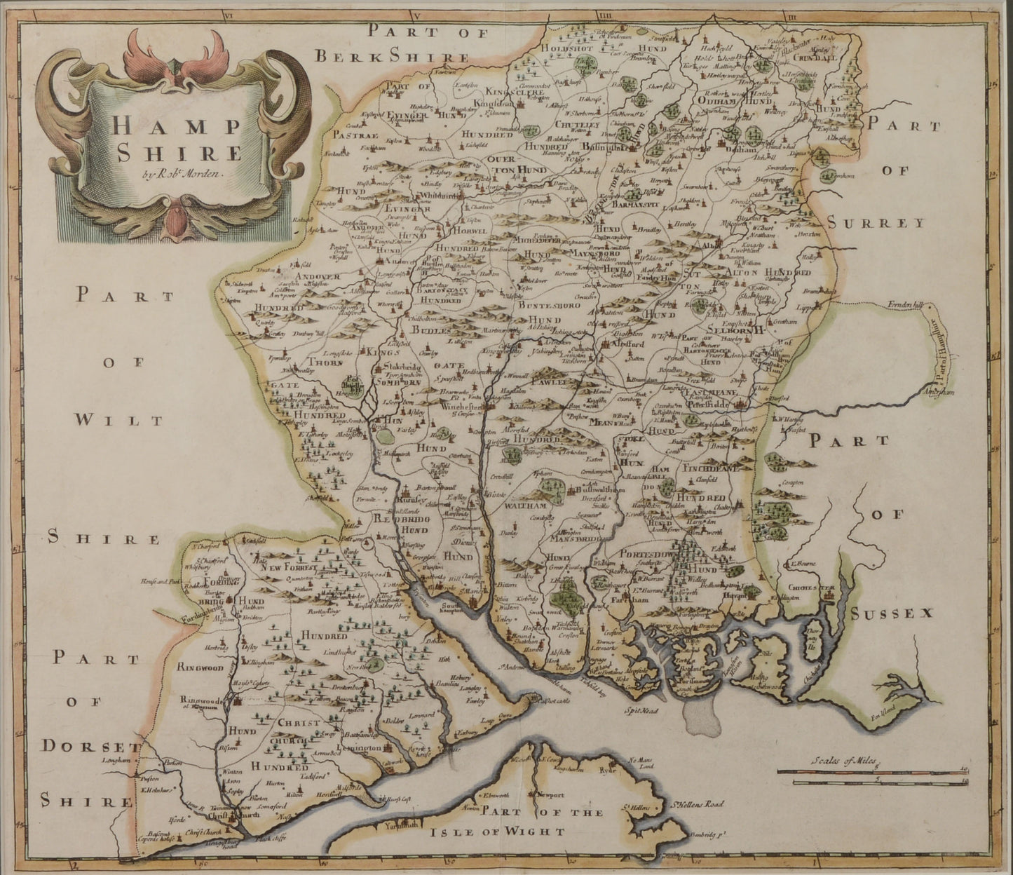
Antique Map of Hampshire by Robert Morden
Antique Map of Hampshire by Robert Morden
Couldn't load pickup availability
Robert Morden (died 1703)
Hampshire, published c.1695
engraved map, hand coloured
Framed and glazed in our studio with conservation materials
Overall size including frame: 61.2 x 65.8 cm
Robert Morden worked from premises in Cornhill, London, from where he sold maps, globes, charts and mathematical instruments. He is best known for the series of engraved county maps which were published in William Camden’s Britannia in 1695 and became the standard maps for the following fifty years, helping to establish consistency in English place names.
The maps show the many 'hundreds' which were ancient county sub-divisions and which fell out of use in the 19th century. The country seats and estates are clearly marked, such as Titchfield Abbey and Stansted Park.
Shipping & Returns
Shipping & Returns
Free UK postage for items over £500 GBP
Otherwise calculated at checkout
Overseas postage calculated at checkout depending upon location
Returns
You have 30 days to return your item after receieving it. Returns can be made for any reason. Click below for more information.
Share