Richard Martin Gallery
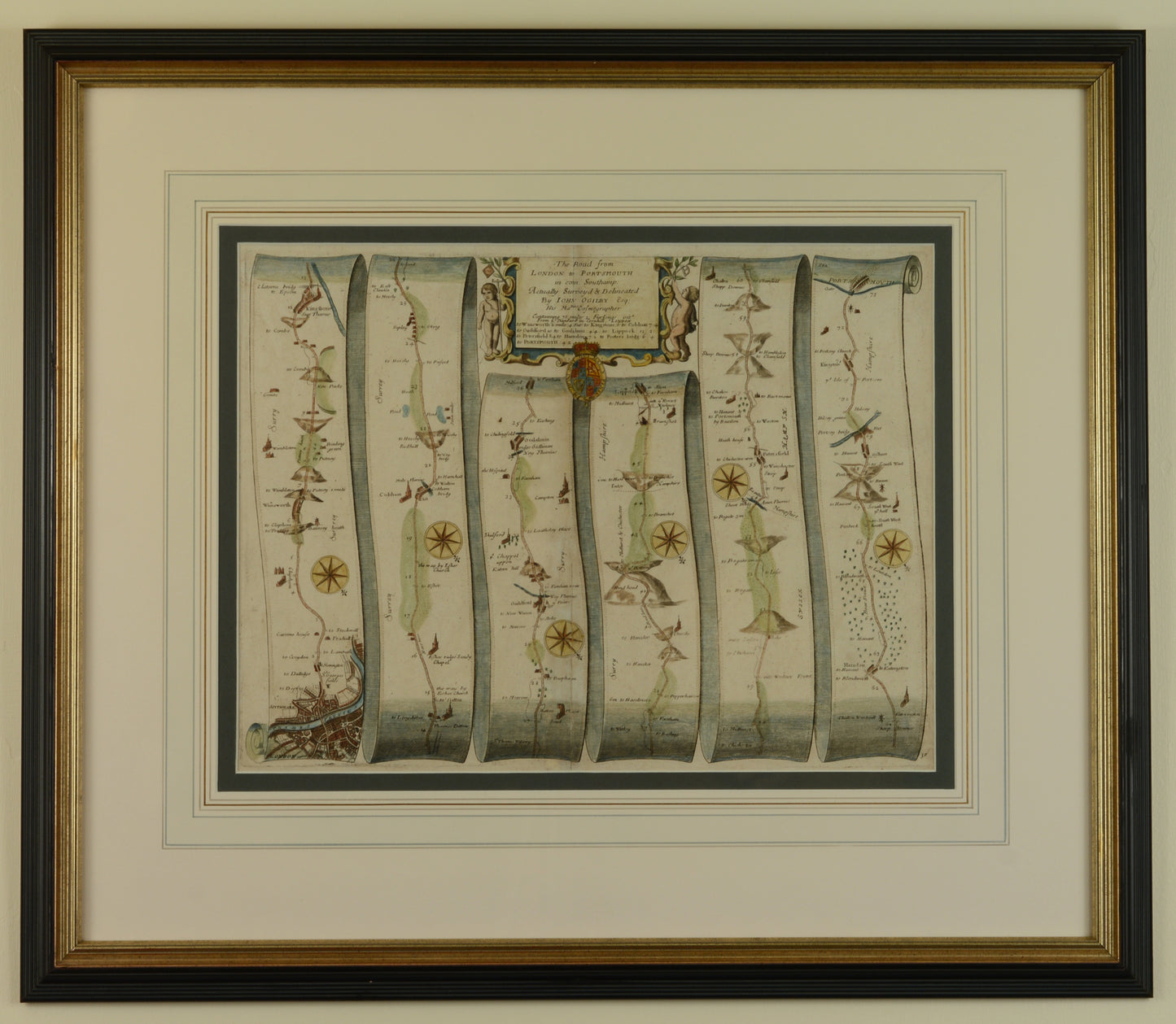
Antique Map of the Road from London to Portsmouth by John Ogilby
Antique Map of the Road from London to Portsmouth by John Ogilby
Couldn't load pickup availability
John Ogilby (1600-76)
The Road from London to Portsmouth in com: Southamp: by John Ogilby Esq, His Majesties Cosmographer
Original hand coloured engraved strip road map, published c.1675
Double conservation mount with wash and gilt lines, contained in an attractive fluted black and gilt frame
Overall size including frame: 62.1 x 72 cm
John Ogilby (1600-76) lived an extraordinarily varied life and was in turn a dancing master, courtier, poet and translator of classic works. His first foray into mapmaking was not made until he was seventy years old and the strip road maps of England & Wales, for which he is best known, were published five years later in 1675.
Ogilby was known to survey roads with a 'waywiser' - a wooden wheel pushed along by hand and used for measuring distance. The maps were accurate for their time and remained influential for the following century.
The route from London to Portsmouth follows much of what is now the A3, always an important route connecting London to the naval port at Portsmouth and certainly a road very well known to naval officers over the centuries. It must have been quite a scene as they surmounted Portsdown Hill and first saw the fleet at anchor. Some of the towns along the route prospered as staging posts, and highwaymen were active in the 18th century - particularly at Kingston and the Devil's Punchbowl near Hindhead. Many of the towns along the route have since been bypassed in the past century, beginning with Kingston in the 1920s.
Shipping & Returns
Shipping & Returns
Free UK postage for items over £500 GBP
Otherwise calculated at checkout
Overseas postage calculated at checkout depending upon location
Returns
You have 30 days to return your item after receieving it. Returns can be made for any reason. Click below for more information.


