1
/
of
5
Richard Martin Gallery
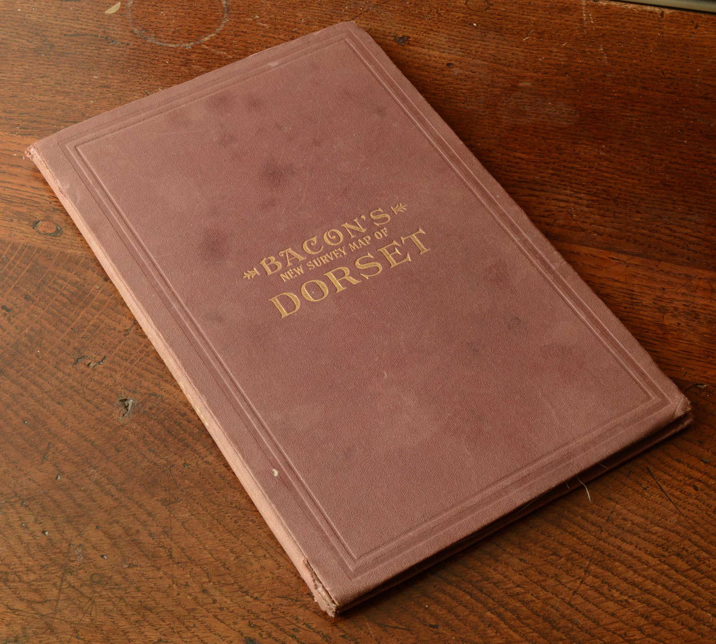
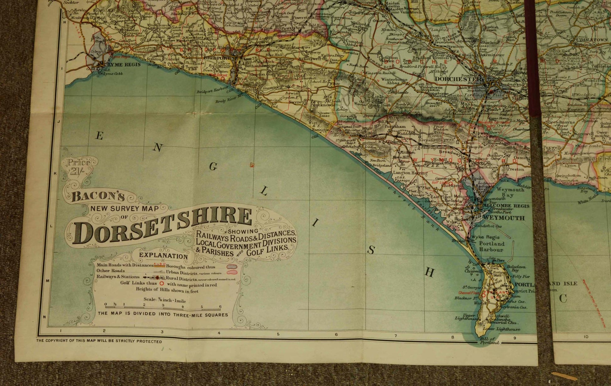
Bacon's New Survey Map of Dorset, published c.1900
Bacon's New Survey Map of Dorset, published c.1900
Regular price
£45.00 GBP
Regular price
Sale price
£45.00 GBP
Taxes included.
Shipping calculated at checkout.
Couldn't load pickup availability
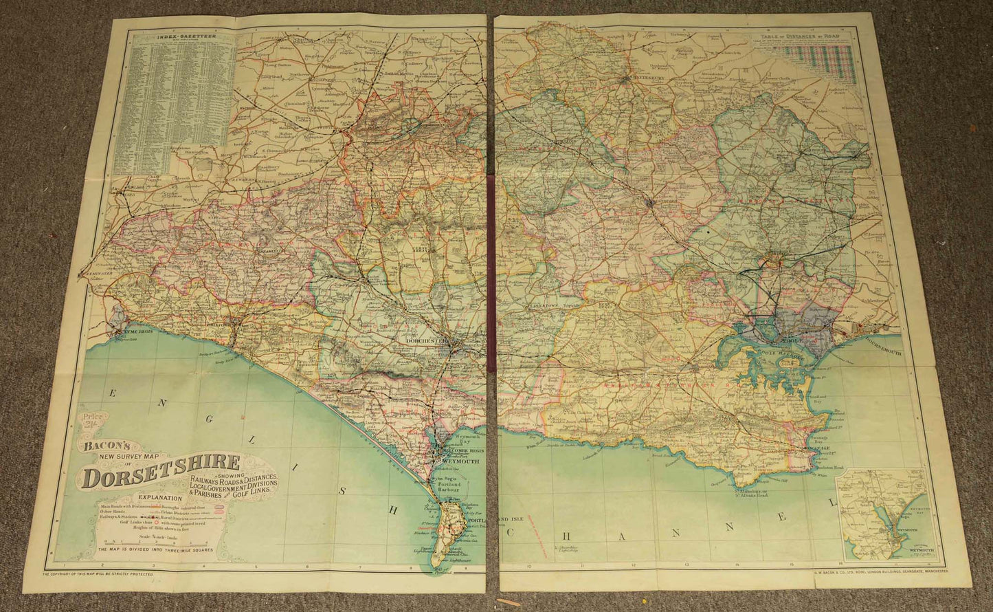
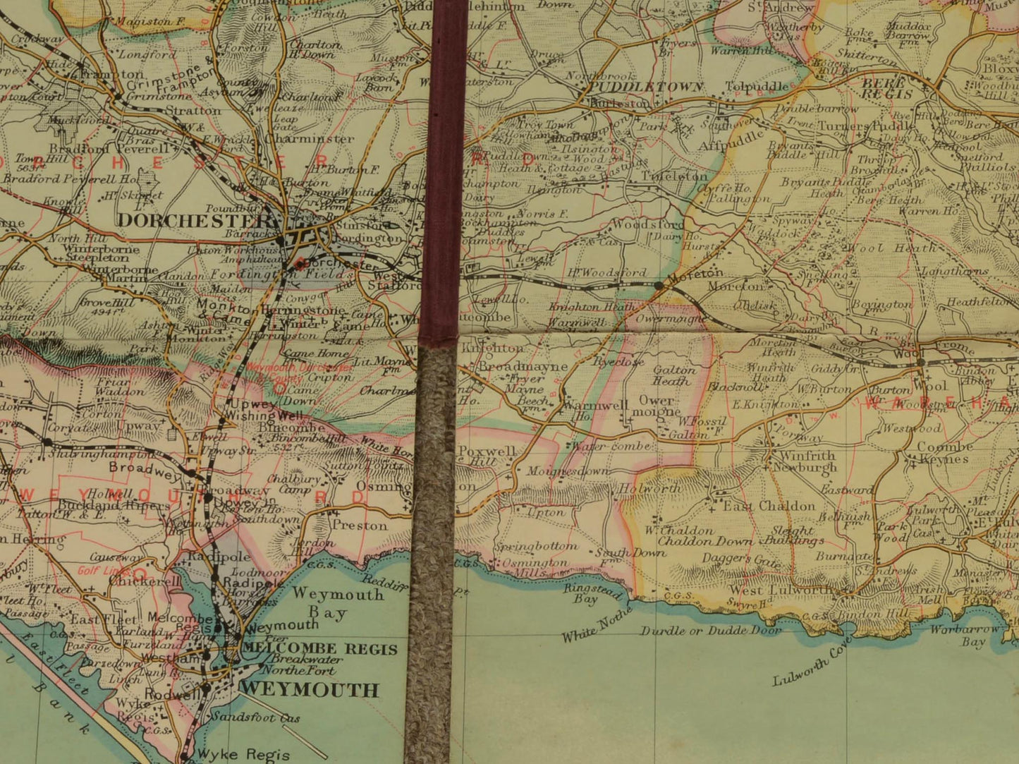
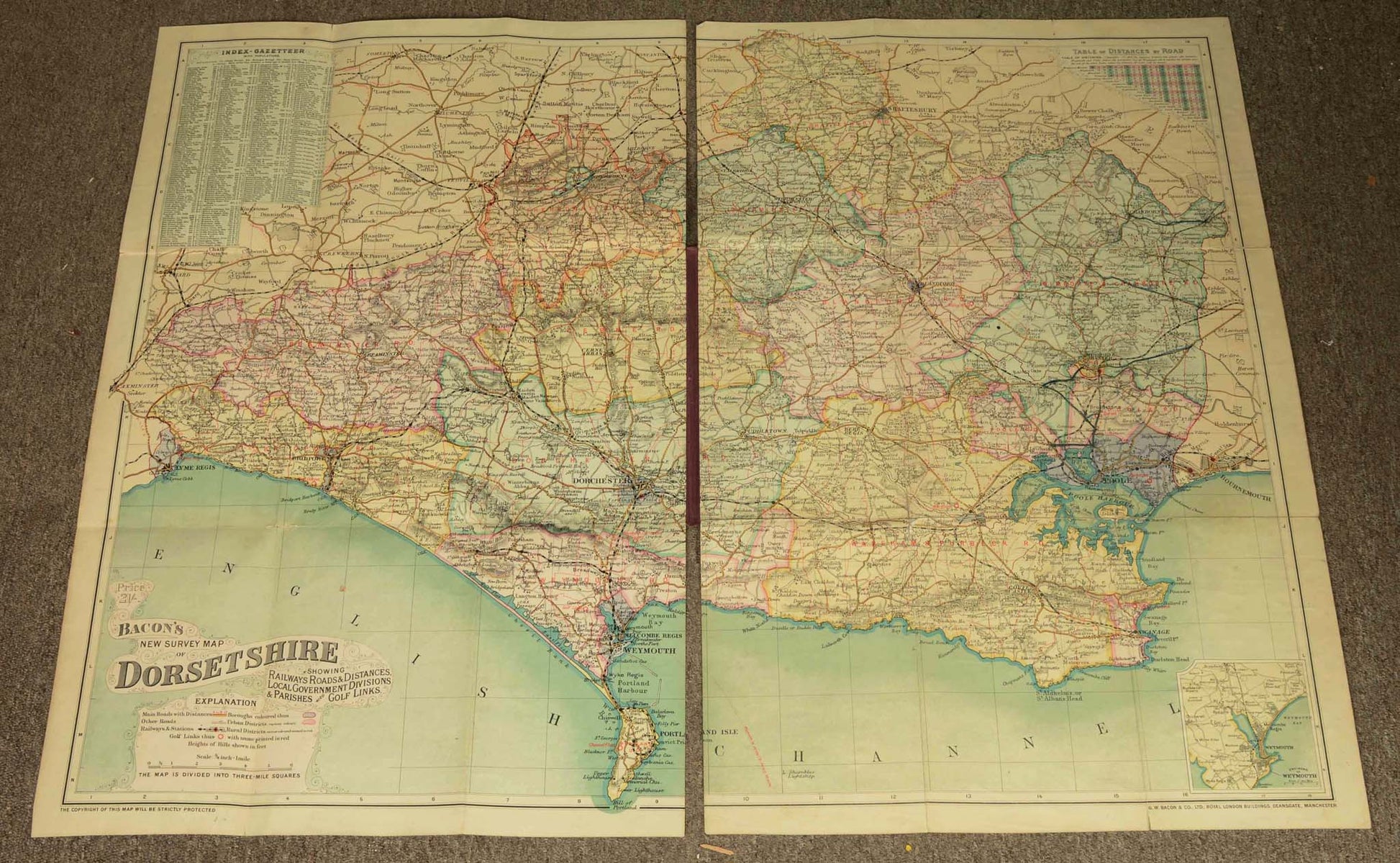
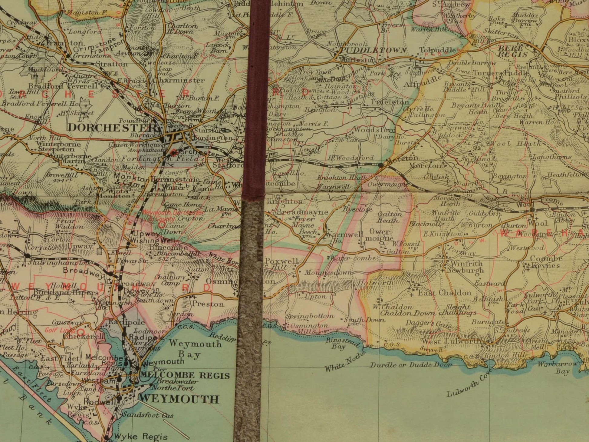
An attractive large colour printed folding map of Dorset, on two sheets
Published by G.W. Bacon & Co., Manchester, c.1900
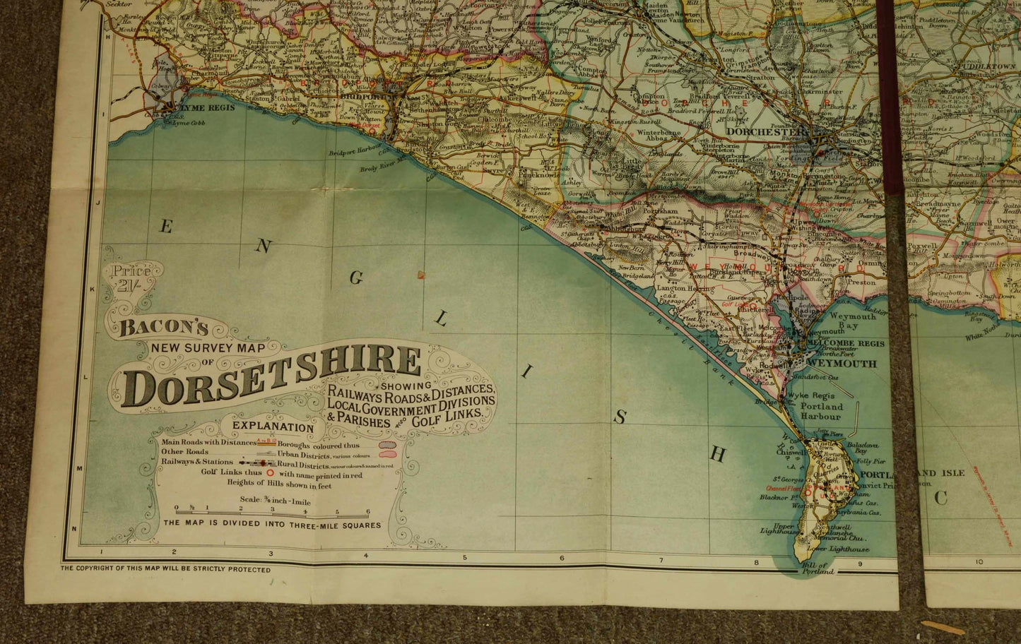
Printed on a scale of 3/4 inch to 1 mile, with an inset index and table of distances
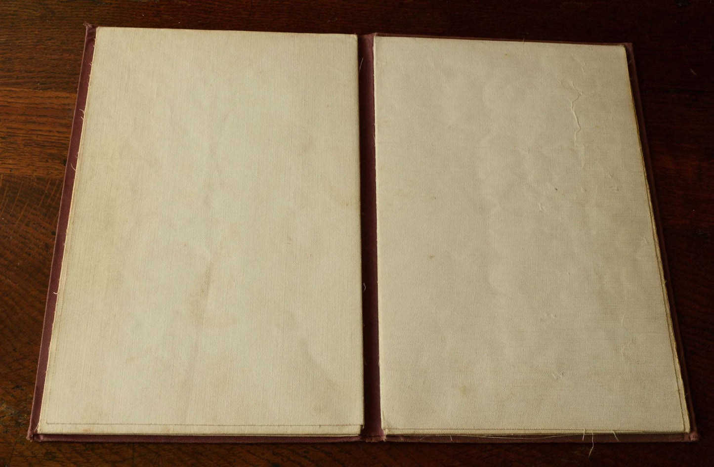
Each sheet linen-backed as issued
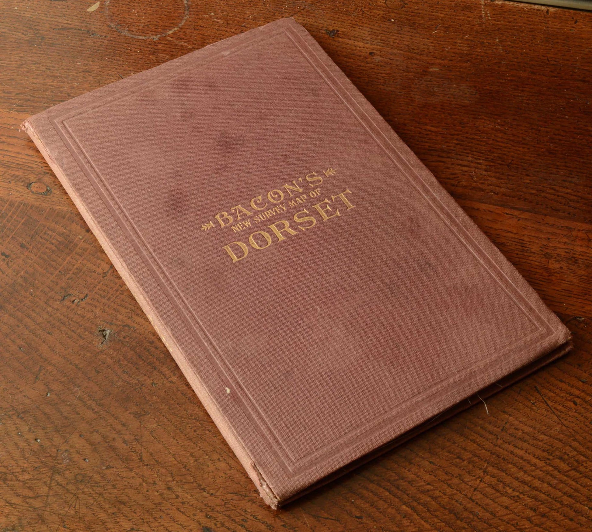
With the original cloth binding, gilt lettering to upper cover and spine
Condition: One or two short splits at the fold intersections and a few spots and marks commensurate with age
Shipping & Returns
Shipping & Returns
Free UK postage for items over £500 GBP
Otherwise calculated at checkout
Overseas postage calculated at checkout depending upon location
Returns
You have 30 days to return your item after receieving it. Returns can be made for any reason. Click below for more information.
Share
