

Richard Martin Gallery
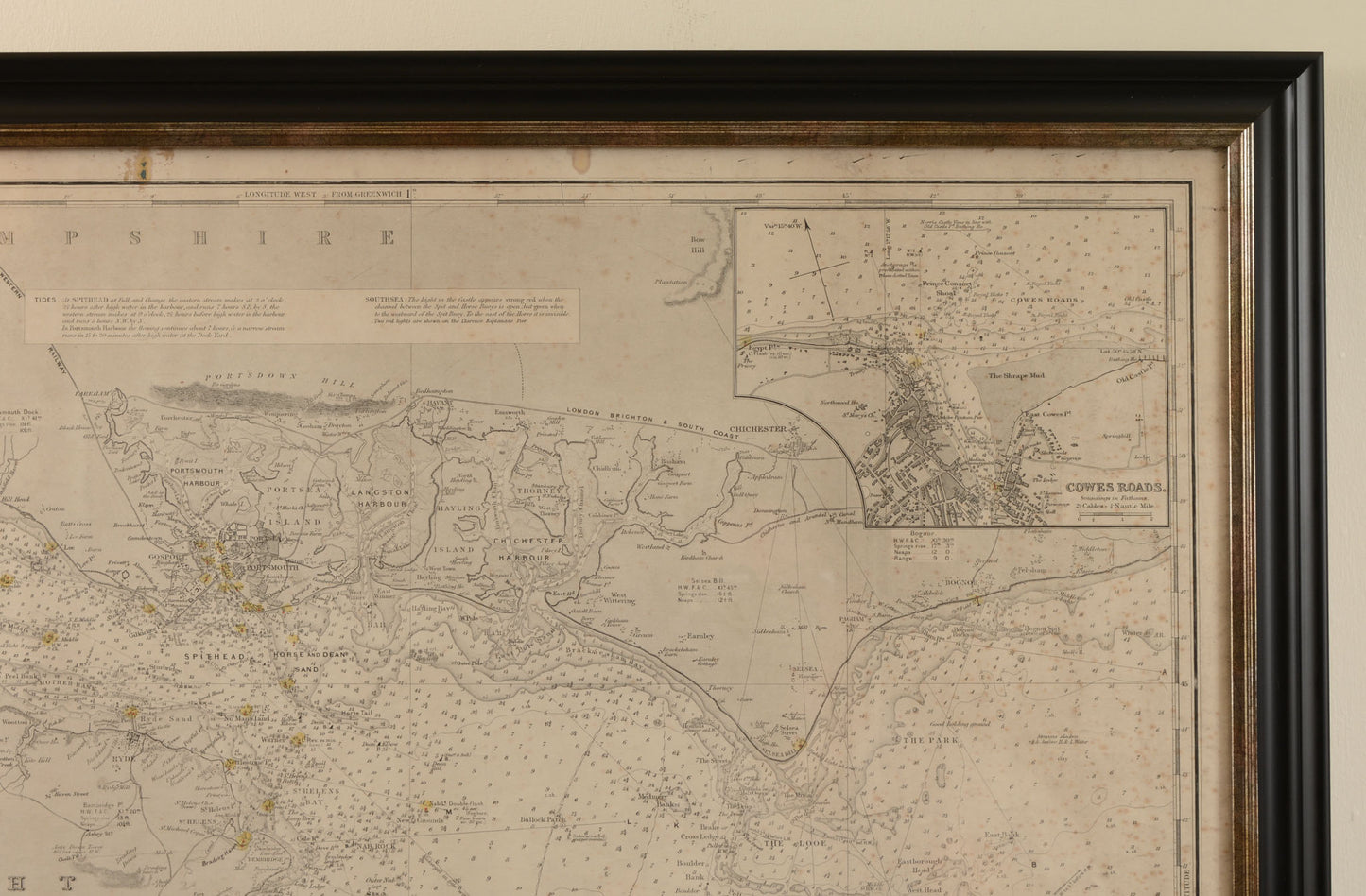
Imray Chart of The Solent and Surrounding Waters
Imray Chart of The Solent and Surrounding Waters
Couldn't load pickup availability
Attractive navigational chart of The Solent, Isle of Wight, and much of the South Coast of Hampshire
Published by James Imray & Son and Norrie and Wilson, updated to 1910
With two inset charts, numerous navigational points, soundings and information marked
A little hand colouring by the publisher to mark navigational points that operate a light
Some age toning and spotting commensurate with age
Framed and glazed in our studio
Overall size: 73.2 x 106.2 cm
James Imray and Son were established in the 1830s and produced navigational charts to rival those of The Admiralty, later merging with another chart maker Norrie & Wilson.
Shipping & Returns
Shipping & Returns
Free UK postage for items over £500 GBP
Otherwise calculated at checkout
Overseas postage calculated at checkout depending upon location
Returns
You have 30 days to return your item after receieving it. Returns can be made for any reason. Click below for more information.
Share